
 610.432.2600
Ground Footage Stops at Eye Level.
Aerial Video Gives Your Brand the Full Picture.
A campaign built only from ground footage keeps every viewer at eye level, and eye level rarely shows what makes a place worth remembering. One aerial pass over a property, a venue, or the Santa Catalina foothills behind it changes the register and tells people exactly where your story lives. That sense of context and scale is what a listing video, a brand film, or a launch reel needs to hold attention and look like it was produced to sell.
Project Snapshot: The 5 Ws
What Drone and Aerial Videography Actually Covers
The Who
The What
The When
The Where
The Why

Who: The People Commissioning Aerial Work
The Commercial Real Estate Developer: Tucson, Arizona’s mix of desert terrain and open development gives a listing real visual drama from the air. High-resolution aerial photos and video make a property look worth touring in seconds.
The Realtor or Listing Broker: Buyers scroll past listings that all look the same from the street. An aerial hero shot and a short flyover set a property apart and pull more showings from the same marketing budget.

What: The Aerial Work
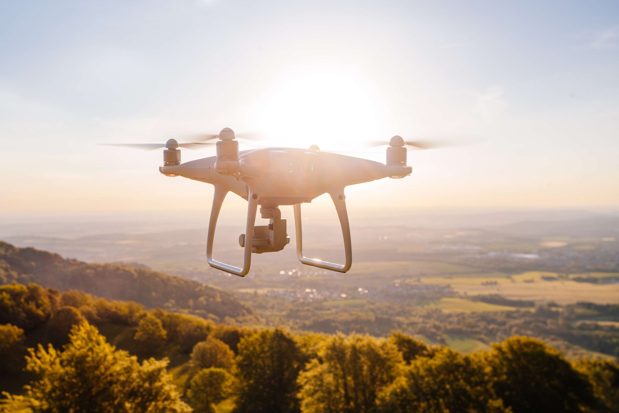
Cinematic Video and Photography: 4K and 5.4K footage, 48MP stills, and planned flight paths cover Tucson properties for marketing, branding, and listing presentation.
Brand Films and Social Video: Aerial b-roll for commercials, promotional reels, and destination content gives brands and venues footage they can cut into ads and post across every social channel.
When: The Timing Constraints
Golden Hour for Cinematic Work: Sunrise and sunset light structures from angles that make aerial footage look expensive. We schedule around that golden-hour window so your property or event looks its best on camera.
Campaign and Event Timing: We plan the shoot around your deadline, whether that’s a listing going live, a campaign launch, or an event date, and hold backup days through peak season so the footage lands on time.

Where: The Operating Environment
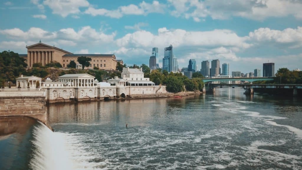
Properties, Resorts, and Venues: We shoot homes and commercial properties, resorts and wedding venues, and event sites across the Tucson metro. Each location gets framed to sell the space and the setting around it, from the building to the desert behind it.
Downtown and Southern Arizona Destinations: Downtown Tucson, the Santa Catalina foothills, and Southern Arizona’s resort corridors give a brand backdrops most markets cannot match. We put your property or event in that context so the location does part of the selling.
Why: The Business Case
Information Density: A single aerial shot sells location, scale, and setting better than a stack of ground photos. That sense of place is what makes a viewer want to see the property or visit the venue.
Content You Can Reuse: One flight gives a brand footage it can reuse across ads, its website, listings, and social for months. Aerial content also signals production value that makes a business look larger than its budget.

Professional, Insured
Aerial Production
Why a Licensed, Insured Crew Protects Your Brand and Your Footage
Hiring a licensed and insured aerial crew is a brand decision before it is a technical one. When the footage carries your name, you want it captured by an operator certified to fly commercially and covered by aviation liability, so the video can run in ads, on your site, and across social without a question about how it was made.
A hobbyist rate looks appealing until a client, a network, or a stock platform asks who shot it and under what authorization. We handle the certification and insurance paperwork in the background so your team never has to think about it.
What you get is footage cleared for commercial use, delivered on schedule, and safe to put your logo on.
In and around Tucson that means one crew that shows up ready to shoot and hands you content you can run anywhere.
Commercial Real Estate and Development Aerial Video
How Aerial Video Communicates Property Scale and Location
The warehouse is 180,000 square feet. It is also four minutes from the I-10 and I-19 interchange, and that second number is the one that decides whether a tenant signs. Ground photography proves the square footage and leaves the location argument unmade, which is how a listing sits on the market while a comparable property with aerial coverage moves.
Orbit Shots and Contextual Framing:
Orbit shots keep the property centered while rotating the surrounding context through the background, effectively capturing the adjacent infrastructure. In this rotation, highway interchanges, neighboring distribution facilities, rail access points, and regional infrastructure become clearly visible. Labeling these features directly on the footage with motion graphics further enhances understanding.
Residential and Luxury Property Presentation:
In the Tucson market, particularly in affluent neighborhoods, luxury residential listings rely heavily on drone photography to answer essential questions. Can we see the property’s proximity to main roads? What does the lot look like from above? Is it nestled within a dense neighborhood or an expansive estate? By providing these visuals, agents can shape how a property is perceived.
Properties lacking aerial imagery are at a disadvantage when competing against those that offer a holistic view of context and lifestyle. It’s not just about specifications; it’s also about what makes each property unique and desirable to its target audience.
Construction Progress Content for Investors and Buyers
Show Investors and Future Tenants the Project Rising, Month by Month
A development is easiest to sell while it is going up. Monthly aerials of the site give developers and their marketing teams a clear, dated record of progress that investors, lenders, and future tenants actually want to see. Instead of a status email you send a short video that shows the pad graded, the steel going vertical, and the parking taking shape. Strung together at the end, those flights become a time-lapse that markets the finished project and the team that delivered it.
Monthly Progress Documentation:
We fly the same paths on a set schedule so each update lines up with the last. The result is a consistent series a developer can drop into investor decks, leasing pages, and social posts as a Tucson or Southern Arizona project moves from dirt to delivery.
Milestone Content Worth Sharing:
Groundbreaking, topping out, and the first tenant sign are the moments a project earns attention. An aerial of each milestone gives your marketing team a ready-made asset for press, email, and the leasing campaign, so momentum on site becomes momentum in the market.
The more money the schedule puts at risk, the more a progress record is worth. Large commercial projects justify monthly flights. Lose one day to a schedule slip and it has already cost more than the footage.
FPV Drone Videography and Indoor Flights
What FPV Drone Footage Looks Like and Where It Works Best
FPV footage moves through a space in one continuous, high-energy shot, diving and sweeping in ways a standard stabilized drone cannot. That momentum is what makes brand and event video feel alive instead of static.
FPV for Venue and Facility Tours:
Through FPV footage, venues in Tucson, Arizona, can create immersive walk-through experiences that captivate viewers in ways static shots cannot. The continuous flight path takes the audience on a thrilling journey through spaces like breweries and event venues.
FPV for Brand and Event Content:
High-energy brands partner with FPV specialists to produce brand content for product launches, sporting events, and competitive athletic campaigns. By using this distinctive format, they showcase their commitment to innovation and visual intensity.
Each FPV run is choreographed to your space and your story, so the shot flows from one moment to the next without a cut. Done right, it gives a brand or venue a signature piece of content people actually rewatch.
Aerial B-Roll for Brand Films and Commercials
Why One Aerial Shot Makes a Brand Film Look Made to Sell
A brand film cut entirely from ground footage keeps the viewer at eye level the whole way through. Add a single aerial move and the film changes register. The shot signals scale and budget, and a Tucson business can suddenly read as regional or national without spending like it. Aerial b-roll is the most affordable lever we have for making a commercial look like real money went into it.
Establishing Shots and Scene Transitions:
The opening aerial answers where the story happens before anyone says a word. A slow rise over the property or a pull-back across the desert drops the viewer into the location with momentum. Placed between interview segments, aerials reset the setting and give the audio room to breathe, so the film moves instead of cutting from one talking head to the next.
Cinematic Movement and Production Value:
A smooth orbit, a controlled climb, or a forward push over the Santa Catalinas reads the way a tracking shot does in a feature. Phone footage carries authenticity. Aerial footage carries investment. For a Southern Arizona brand up against larger competitors, a few seconds of aerial is the clearest way to look like you are playing at their level, and it costs a fraction of what that impression usually takes.
Drone Tourism, Hospitality, and Destination Marketing Aerials
Why Aerial Sells the Experience an Interior Photo Cannot
An interior photo sells the room. An aerial of the same place at golden hour, with the patio full and the desert light spreading out behind it, sells the experience of being there. Hospitality marketing competes on atmosphere, and atmosphere lives in the context around a property. That context is exactly what aerial captures and a static photo leaves out.
Resorts, Venues, and Event Properties:
An aerial of a resort or wedding venue at sunset shows the grounds, the pool, the ceremony lawn, and the mountains behind them in one cinematic move. Prospects see the property at its best before they ever book a tour, which is what turns a Southern Arizona venue into a place worth traveling for.
Restaurants, Breweries, and Tucson Destinations:
Shot from above on a busy night, a rooftop bar or a downtown Tucson block reads as energy, string lights against the evening sky and a full patio that a flat interior shot never conveys. We cut these into short social formats a venue or a destination can post through peak season to pull visitors in.
The experience, not the floor plan, is what sells a destination. Before the shoot we settle on the deliverable you need, whether that is a hero listing video, a social reel, or a full brand film for the property.

Aerial Event Coverage and Live Drone Streaming
How Aerial Coverage Captures Events From a Perspective Attendees Cannot See
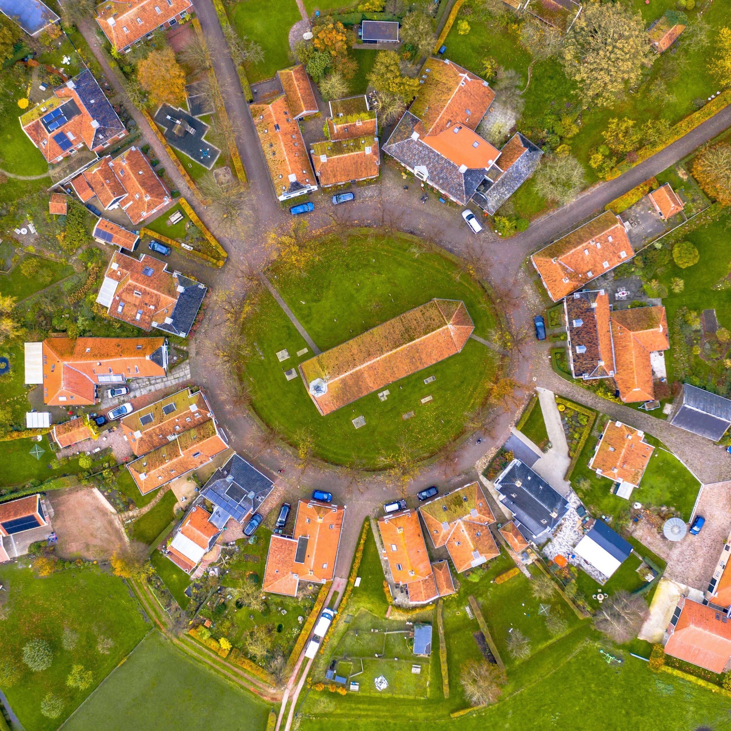
A crowd of 3,000 shot from ground level reads as a wall of shoulders, and a sponsor looking at that frame has no way to judge what the money bought. From 200 feet up, the same 3,000 people read as a measured footprint with the activation areas and the overflow visible at once. Lose the aerial angle and you lose scale, the one thing no ground-level camera can convey.
Aerial coverage captures an event at full scale, the crowd, the stage, and the whole footprint in one frame. That is the shot sponsors and organizers use to sell how big and how good the event really was.
- Event Documentation and Highlight Content: Tucson’s events industry relies on aerial coverage to showcase attendance figures and energy levels. Sponsors, prospective attendees, and media outlets respond more effectively to aerial footage than ground-based documentation. By depicting the crowd, activation footprint, and overall site scale in a single frame, aerial shots provide an unparalleled perspective.
- Live Aerial Feed and Event Recap: A live aerial feed puts remote sponsors and stakeholders inside the event as it happens, on the screens on site and on the stream at home. The same footage becomes a branded recap the organizer can share the moment the event ends.

Drone Post-Production and
Color Grading
Drone Footage Straight Out of the Camera Looks Flat. That Is by Design.
Footage is captured in D-Log or D-Cinelike so the sensor’s full dynamic range survives to the edit. The sky holds instead of blowing out, the shadows keep detail instead of crushing, and the color information a grade depends on is still in the file. Skip the flat profile and that range is gone before post ever opens the footage, with nothing to recover it from.
 Color Grading for Cinematic Output
Color grading draws out the subtleties of color that the flat profile captured and preserved. By selectively restoring saturation, the vibrant hues of Tucson’s desert landscapes during late spring can be showcased. The warm tones of industrial sites at dusk, and the deep blue of the Santa Catalina Mountains’ vistas, are all retrievable with precise control. Contrast is then added to imbue the image with a three-dimensional quality.
 Workflow and Deliverable Formats
ProRes goes to the professional edit, H.264 or H.265 goes to web and social, and broadcast specs go to television. Raw camera files are held ungraded for archival or a future regrade, because a client who wants a different look in two years has nothing to work from otherwise. Stills are delivered at 48 megapixels, which is what large-format print and billboard production require.

Protecting Your Shoot Date and Delivery
How We Keep Monsoon Season From Costing You the Footage
Southern Arizona weather can turn a shoot day quickly, and a missed window can mean a missed launch. We plan around it so your deadline holds.
- Forecast Tracking and Backup Days: Before a shoot we track the Tucson forecast, hold backup dates through monsoon season, and pick the light that makes your property or event look its best.
- Protecting the Footage: If conditions will not deliver footage worth putting your name on, we move the flight rather than hand you a compromised clip.
You still get the content you booked, on a timeline your campaign can count on.

Frequently asked questions
Can drones fly indoors?
Yes. With propeller guards and careful, low-speed flight, we capture clean aerial moves inside venues, showrooms, and event spaces where GPS does not reach. Indoor aerials give a venue or showroom a dynamic marketing shot most competitors never put in front of a customer.
What is the maximum legal altitude for commercial drone operations?
The standard ceiling is 400 feet above ground level, and it rises when we are working close to a tall structure. That range is plenty for the establishing shots and property views your marketing needs, and on the rare shoot that calls for more, we secure the exception in advance.
Can drones fly at night?
Yes. With night authorization and proper anti-collision lighting, we fly after dark safely. Night aerials capture a lit venue, an event in full swing, or the Tucson skyline glowing, which gives a brand striking after-dark content that daytime footage simply cannot match.
What permits are required for a drone shoot?
It depends on the location, and that is our job, not yours. We handle airspace authorization, landowner permission, and any park or municipal filming permits before the shoot. Your team just approves the shot list, and the paperwork never touches your timeline.
What insurance covers commercial drone operations?
We carry aviation liability insurance written for drones, a separate policy from general business coverage, at the commercial standard of $1 million per occurrence. For you it means the footage carrying your brand was captured legally and is cleared for commercial use. A certificate of insurance is available to property owners and event organizers on request.
How long can the drone remain airborne?
Each battery gives 20 to 25 minutes of flight time, and conditions can trim that. We carry and rotate enough batteries, charging in the field, to cover a full shoot day, so coverage of your property or event is never cut short by a swap.
Can drone video be streamed live to a remote viewer?
Yes. We can stream the live aerial feed to viewers anywhere. That lets sponsors, executives, and remote stakeholders experience your event or project as it happens, from a launch or a game to a Tucson development an investor is watching from across the country.
What happens when the required airspace is a no-fly zone?
Most controlled airspace around Tucson clears automatically, and where it does not, we file for authorization ahead of time. Because we sort the airspace before the shoot, your date and delivery hold. On the rare restricted zone that cannot be cleared, we plan an alternate location or date early enough to keep your campaign on track.
What resolution is drone footage and photography?
Drone-captured video is recorded at 4K or 5.4K depending on the platform, which leaves enough resolution to crop hard in post without the image falling apart. Stills are captured at 48 megapixels, which is the threshold billboard and large-format print work demands. Everything is delivered in the specifications the production pipeline or the print vendor requires, because footage delivered in the wrong spec is footage that gets sent back.
Does drone footage include audio?
No, drone operation produces considerable propeller noise that overpowers ambient audio. As a result, all drone footage is delivered without usable ambient sound, necessitating post-production addition of music, voiceovers, or sound design for most applications. For event coverage where crowd audio is desired, separate ground-based recording systems capture the necessary ambiance to synchronize with aerial footage in post.

Google partner
Premiere Agency